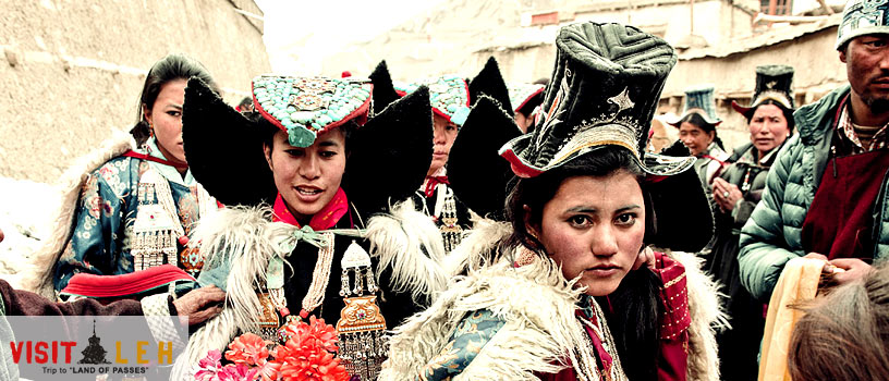
District Leh is situated roughly between 32 to 36 degree north Latitude and 75 to 80 degree East longitude and altitude ranging from 2300 mtrs to 5000 mtrs above sea level. District Leh with and area of 45100 Sq. Kms. makes it one of the largest District in the country.The District is bounded by Pakistan occupied Kashmir in the west and China in the North and eastern part and Lahul Spiti of Himachal Pardesh in the south east. It is at a distance of 434 Kms from State capital ( Summer) Srinagar and 474 Kms from Manali (HP). Topographically, the whole of the district is mountainous with three parallel ranges of the Himalayas, the Zanskar, the Ladakh and the Karakoram. Between these ranges, the Shayok, Indus and Zanskar rivers flow and most of the population lives in valleys of these rivers.
District Leh is situated roughly between 32 to 36 degree north Latitude and 75 to 80 degree East longitude and altitude ranging from 2300 mtrs to 5000 mtrs above sea level. District Leh with and area of 45100 Sq. Kms. makes it one of the largest District in the country.The District is bounded by Pakistan occupied Kashmir in the west and China in the North and eastern part and Lahul Spiti of Himachal Pardesh in the south east. It is at a distance of 434 Kms from State capital ( Summer) Srinagar and 474 Kms from Manali (HP). Topographically, the whole of the district is mountainous with three parallel ranges of the Himalayas, the Zanskar, the Ladakh and the Karakoram. Between these ranges, the Shayok, Indus and Zanskar rivers flow and most of the population lives in valleys of these rivers.
District Leh is situated roughly between 32 to 36 degree north Latitude and 75 to 80 degree East longitude and altitude ranging from 2300 mtrs to 5000 mtrs above sea level. District Leh with and area of 45100 Sq. Kms. makes it one of the largest District in the country.The District is bounded by Pakistan occupied Kashmir in the west and China in the North and eastern part and Lahul Spiti of Himachal Pardesh in the south east. It is at a distance of 434 Kms from State capital ( Summer) Srinagar and 474 Kms from Manali (HP). Topographically, the whole of the district is mountainous with three parallel ranges of the Himalayas, the Zanskar, the Ladakh and the Karakoram. Between these ranges, the Shayok, Indus and Zanskar rivers flow and most of the population lives in valleys of these rivers.


